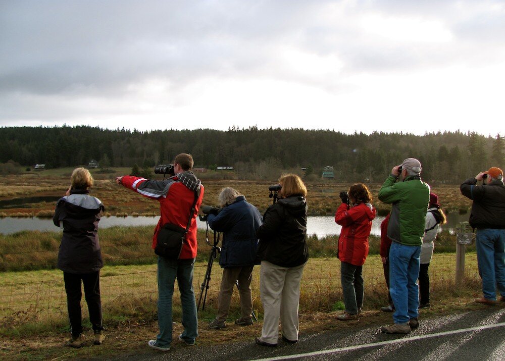
The Christmas Bird Count (CBC) is the largest and longest running community science project in the world! The data is open to all and provides information for research, planning and conservation. Whidbey Island has two circles each with a diameter of 15 miles. Volunteers are placed in teams, meet in the morning typically 8 a.m. and bird until 4 p.m. (daylight hours). There is also special data collection for nocturnal birding. Each team identifies and counts every bird that they see or hear within their zone.
2023 Christmas Bird Count — North Whidbey
The WAOH 2023 Christmas Bird Count took place Saturday, December 16. We’ll be back in December 2024.
2023 Christmas Bird Count — South Whidbey
The South Whidbey Christmas Bird Count took place Saturday, December 30. We’ll be back for another round in 2024.
Christmas Bird Count 2023 results:
North Whidbey Circle: 16 December: 119 species were identified, and 21,274 birds were counted.
South Whidbey Circle: 30 December: 107 species were identified, and 16,930 birds were counted.
Our 2023 CBC results are available on the Audubon CBC data site.
Once you are on the Audubon CBC data site, use the following Count Codes to navigate to our data:
For North Whidbey enter “WAOH” in the “Count Code” box.
For South Whidbey enter “WASW” in the “Count Code” box.
More Christmas Bird Count Background
Whidbey Island Christmas Bird Count Circles (and surrounding CBC areas)
The Christmas Bird Count (CBC) is a 100-plus year old community-science program of the National Audubon Society. From December 14 through early January, thousands of volunteers across the U.S., Canada and many other countries in the Western Hemisphere go out over a 24-hour period on one calendar day to count every bird of every species seen and/or heard within an established 15 mile diameter circle divided into individual survey territories. This information is then compiled and sent to National Audubon.
The data collected by observers over the past century allow Audubon researchers, conservation biologists, wildlife agencies and other interested individuals to study the long-term health and status of bird populations across North America. When combined with other surveys such as the Breeding Bird Survey, the data provide a picture of how the continent’s bird populations have changed in time and space over the past hundred years. — www.audubon.org
Whidbey Island has two distinct survey areas: the North Whidbey (Oak Harbor) Circle and the South Whidbey Circle.
Contacts:
North Whidbey (Oak Harbor) Circle: CBC North
South Whidbey Circle: CBC South
Why is the Christmas Bird Count Important?
Whidbey Island is home to a wide variety of bird species. It also lies on the Pacific Flyway for migratory birds. The resulting diversity, as documented in part by the annual Christmas Bird Count, helps to inform the important choices we make on Island County to ensure that habitat is maintained for resident and migratory species, all year round.
Christmas Bird Count Data
For Whidbey Island the North count goes back to 1987. The South count started in 2011. The National Audubon Society compiles all the CBC data into accessible file formats at http://netapp.audubon.org/CBCObservation/Historical/ResultsByCount.aspx#.
Once you are on the Audubon CBC data site, use the following Count Codes to navigate to our data:
North Whidbey (Oak Harbor) Count Code: WAOH
South Whidbey Count Code: WASW
Please also visit the National Audubon website for more information about the CBC.
https://www.audubon.org/conservation/science/christmas-bird-count
North Whidbey Christmas Bird Count Circle - General Description
The epicenter for the North Circle is the intersection of State Route 20 and Monroe Landing Road. The North Circle includes the city of Oak Harbor and the town of Coupeville. There are two Important Bird Areas (IBAs) in the North Circle: Penn Cove and Crockett Lake. IBA is a status that not only recognizes an area’s importance to birds, but helps justify protections when encroachment or other development actions threaten a habitat. The North Circle also includes three military installations: Naval Air Station Whidbey Island’s Ault Field, Sea Plane Base, and Outlying Landing Field Coupeville.
South Whidbey Christmas Bird Count Circle - General Description
South Whidbey CBC
The Washington South Whidbey CBC (WASW) was initiated as a designated CBC circle in 2011 by Govinda Holtby. The epicenter is in the middle of Goss Lake. Christmas Bird Count circles have historically been 15 miles in diameter. When we registered the South Whidbey Circle, we realized that we were squeezed between other neighboring CBC circles. However, National Audubon recognized that the value of a South Whidbey circle was greater than maintaining completely discrete 15 mile diameter circles. So the tip of Camano island, as seen in the photo at right, continues to be counted as part of the earlier established Everett circle.
The WASW circle includes over 40 miles of shoreline, four towns, and four lakes: Goss Lake, Lone Lake, Deer Lake, and Miller Lake. One lagoon, Deer Lagoon, is also in the circle and has been designated an Important Bird Area (IBA). A handful of marshes are located in the Maxwelton Watershed as well as one or two creeks. Public wooded trails and fields are also in the circle (Trillium Woods - 654 acres; Community Park - 80 acres; Saratoga Woods - 80 acres; Trust Land Trails - 200 acres).